Raster GeoTif files for the complete extent of Australia can be downloaded from our FTP site or from the CSIRO Data Access Portal (DAP)
Files can be downloaded via FTP from ftp://qld.auscover.org.au/tern-soils/Products/National_digital_soil_property_maps/. We suggest using an FTP client such as FileZilla
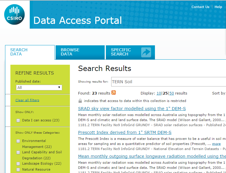
The CSIRO Data Access Portal (DAP) is a publically available data download site. All of the products produced by the Soils and Landscape Grid Facility are available as GeoTif files which can be downloaded from the CSIRO DAP.
Because of the large file size of products in the Soil and Landscape Grid (approx 4Gb per file), you will need to follow the instructions at the bottom of the "Browse Data" tab to download the data from the DAP. Initially most of the files that appear in the list will not be able to be selected. These large files are stored on tape and have to be loaded to the DAP by submitting the info at the bottom of the page. You will then recieve an email when the files are ready. Be careful if you copy and paste username/passwords out of DAP emails - they can contain spaces at the end of the words which you do not want.
FundersPartners


TERN is enabled by NCRIS.